New Documentation for 2014
Technical Guides & other documentation
DATABASE
Database Queries
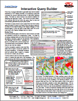
Interactive Query Builder
(2 pp)
Database Tables
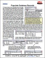
Populate Database Records
(2 pp)
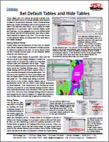
Set Default Tables and Hide Tables
Linking to Databases
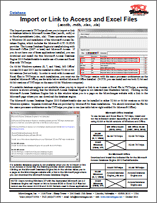
Import or Link to Access and Excel Files
Spatial Database
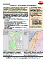
Use and Create File Geodatabases
(2 pp)
DISPLAY
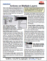
Actions on Multiple Layers
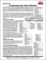
Customize the View Window
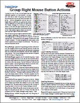
Group Right Mouse Button Actions
(2 pp)
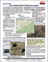
Use Global Public Reference Layers
(2 pp)
3D
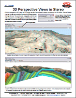
3D Perspective Views in Stereo
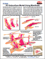
3D Subsurface Model Using Manifolds
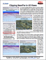
Clipping Near/Far in 3D Views
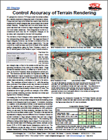
Control Accuracy of Terrain Rendering
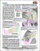
Create Cross-Section Manifold Objects
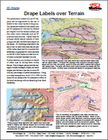
Drape Labels over Terrain
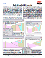
Edit Manifold Objects
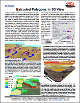
Extruded Polygons in 3D View
(2 pp)
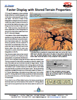
Faster Display with Stored Terrain Properties
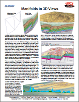
Manifolds in 3D Views
(2 pp)
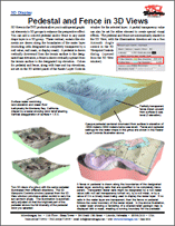
Pedestal and Fence in 3D Views
Perspective Rendering of Geometric Layers
Polygon Styling Options
Render 3D Elements as 3D Shapes
Texture Filters for 3D Rendering
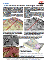
Transparency and Relief Shading in 3D Views
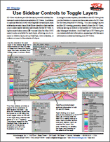
Use Sidebar Controls to Toggle Layers
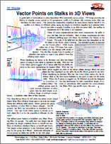
Vector Points on Stalks in 3D Views
(2 pp)
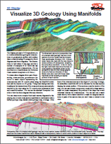
Visualize 3D Geology Using Manifolds
(2 pp)
Data Tips
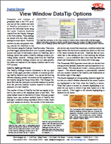
View Window DataTip Options
(2 pp)
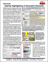
DataTip Highlighting of Geometric Elements
Display Manager
Interactive Query Builder
(2 pp)
GeoToolbox
Combining Regions
Regions from Group, Layer, and View Extents
Use Active/Marked Elements for Measurement, Sketch, and ...
(2 pp)
Layer Visibility
Actions on Multiple Layers
Map Design - Layouts & Groups
Adding Compass Graphics to Layouts
Display Layers, Elements and Groups by Scale
(3 pp)
Group Settings for Standalone Groups
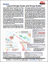
Layout Design Scale and Group Scales
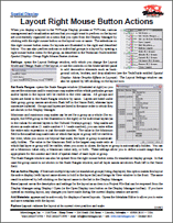
Layout Right Mouse Button Actions
(2 pp)
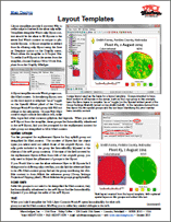
Layout Templates
(2 pp)
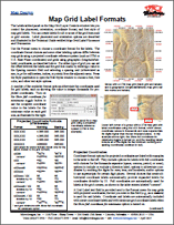
Map Grid Label Formats
(2 pp)
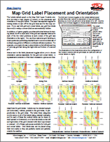
Map Grid Label Placement and Orientation
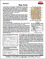
Map Grids
(2 pp)
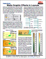
Matte Graphic Effects in Layouts
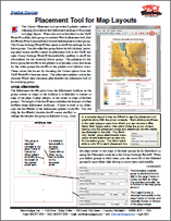
Placement Tool for Map Layouts
Settings for Groups in Layouts
Lidar Display
LAS Point Cloud Display Options
Point Profile Tool
(2 pp)
Manifolds
3D Subsurface Model Using Manifolds
Create Cross-Section Manifold Objects
Edit Manifold Objects
Manifolds in 3D Views
(2 pp)
Visualize 3D Geology Using Manifolds
(2 pp)
Pin Map
Convert Pinmap to Vector Points
Pin Mapping for Urban Analysis
Raster Geodata
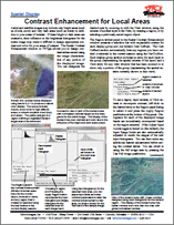
Contrast Enhancement for Local Areas
(2 pp)
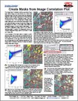
Create Masks from Image Correlation Plot
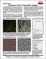
Enhance Color Composite Images
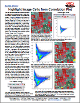
Highlight Image Cells from Correlation Plot
Hyperbolic Tangent Contrast Enhancement
Image Band Correlation
Image Contrast Enhancement
(4 pp)
Inspecting Raster Cells
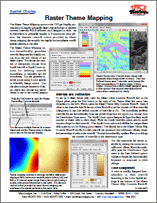
Raster Theme Mapping
(2 pp)
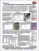
View Histograms for Any Raster or Raster Laye
(2 pp)
Render
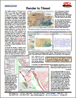
Render to Tileset
(2 pp)
Legends & Other Sidebar Features
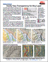
Easily Vary Transparency for Any Layer
Legend Samples for CartoScript Styles
Legend Types for Raster Layers
(2 pp)
Locator Manages Zoom and Position
Save Locations with Places Panel
Set View Position with Places Panel
(2 pp)
Sidebar Zoom Panel
(2 pp)
Vector Layer Legends
(2 pp)
View Window Sidebar
(2 pp)
Style Editor
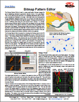
Bitmap Pattern Editor
(2 pp)
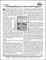
Creating Styles for Lines and Polygons
(2 pp)
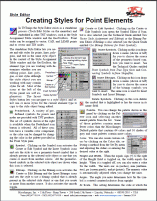
Creating Styles for Point Elements
(2 pp)
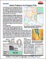
Hatch Patterns for Polygon Fills
(2 pp)
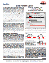
Line Pattern Editor
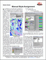
Manual Style Assignment
(2 pp)
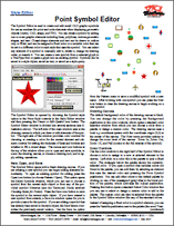
Point Symbol Editor
(4 pp)
Using Web Layers
Use Global Public Reference Layers
(2 pp)
Vector, Shape & Other Geometric Data
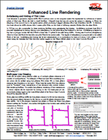
Enhanced Line Rendering
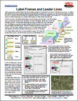
Label Frames and Leader Lines
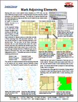
Mark Adjoining Elements
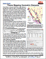
Theme Mapping Geometric Elements
(4 pp)
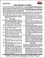
View Window Toolbar
View Window Toolbar
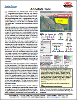
Annotate Tool
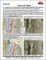
GeoLock Views
Interactive Query Builder
(2 pp)
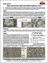
Pan and Zoom with the View Position Tool
Point Profile Tool
(2 pp)
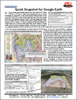
Quick Snapshot for Google Earth
Quick Snapshot of View Contents
Synchronize External GeoViewer
View–In–View Tool
EDIT
Convert Dynamic Labels to Label Elements
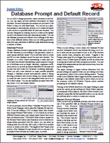
Database Prompt and Default Record
(2 pp)
Edit Manifold Objects
GEODATA
Use Global Public Reference Layers
(2 pp)
PUBLISH
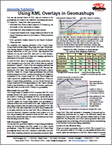
Using KML Overlays in Geomashups
(2 pp)
Printing
Layout Settings and Print Setup
(2 pp)
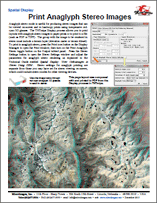
Print Anaglyph Stereo Images
GEOMETRIC PROCESSING
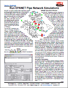
Run EPANET Pipe Network Simulations
(2 pp)
GEOREFERENCING
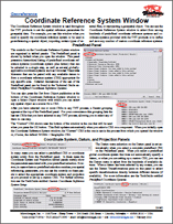
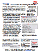
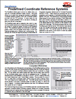
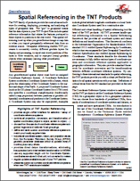
Coordinate Reference Systems (CRS)
Coordinate Reference System Window
(12 pp)
Custom Coordinate Reference System Setup
Predefined Coordinate Reference Systems
(2 pp)
Spatial Referencing in the TNT Products
(2 pp)
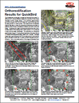
RPC Orthorectification
Orthorectification Results for QuickBird
IMPORTEXPORT
Direct Use of Geodata Files
Import or Link to Access and Excel Files
Use and Create File Geodatabases
(2 pp)
Export
Use and Create File Geodatabases
(2 pp)
Import
Import or Link to Access and Excel Files
Use and Create File Geodatabases
(2 pp)
NEWSLETTERS
Buffer Zone and Spatial Filter Processes
Compute RPC Orthorectification Model
EPANET Pipe Networks
Pricing Changes and a New Client Referral Program
Release of the 2014 TNT Products
Spatial Statistics
Pricing Changes and a New Client Referral Program
RASTER & IMAGE PROCESSING
Apply Contrast to Images
Create and Edit Null Masks and Mask Rasters
(2 pp)
Create Contrast-Matched Images
Classify & Feature Map
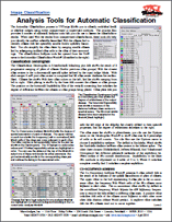
Analysis Tools for Automatic Classification
(2 pp)
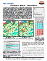
Automatic Raster Combination
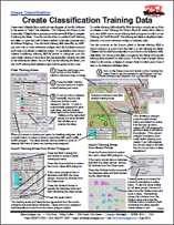
Create Classification Training Data
(2 pp)
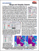
Merge and Simplify Classes
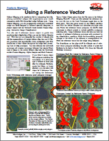
Using a Reference Vector
REGIONS
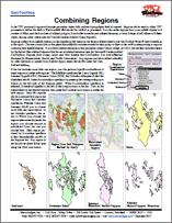
Combining Regions
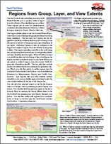
Regions from Group, Layer, and View Extents
SCRIPTING
Job Processing
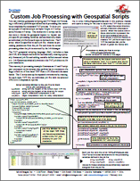
Custom Job Processing with Geospatial Scripts
Lidar Scripts by Terranean Mapping Technologies
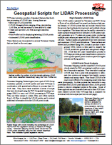
Geospatial Scripts for LIDAR Processing
(2 pp)
Scripting with Lidar Data
Geospatial Scripts for LIDAR Processing
(2 pp)
SYSTEM
TNTmips 2014 Menu
GeoCatalogs
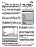
Making and Managing Geodata Catalogs
(2 pp)
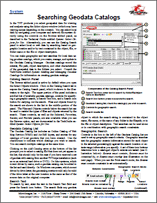
Searching Geodata Catalogs
(3 pp)
Job Processing
Custom Job Processing with Geospatial Scripts
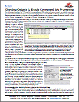
Directing Outputs to Enable Concurrent Job Processing
(2 pp)
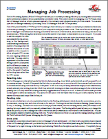
Managing Job Processing
(2 pp)
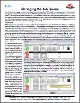
Managing the Job Queue
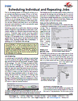
Scheduling Individual and Repeating Jobs
(2 pp)
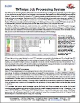
TNTmips Job Processing System
(2 pp)
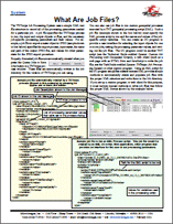
What Are Job Files?
Language Support
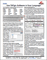
Use the TNT Products in Your Language
Select Input / Output
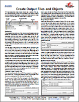
Create Output Files and Objects
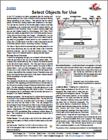
Select Objects for Use
(3 pp)
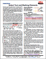
Select Tool and Marking Elements
(2 pp)
TERRAIN AND STEREO
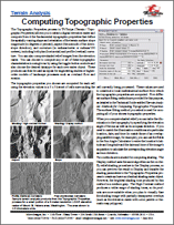
Computing Topographic Properties
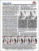
Methods for Computing Topographic Properties
Stereo
Print Anaglyph Stereo Images
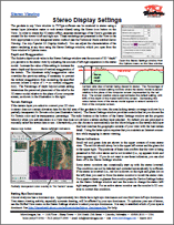
Stereo Display Settings
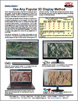
Use Any Popular 3D Display Method
(2 pp)
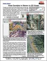
View Geodata in Stereo in 2D Views
(2 pp)
Watershed
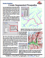
Create Segmented Flowpaths
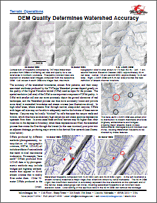
DEM Quality Determines Watershed Accuracy
(2 pp)
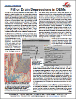
Fill or Drain Depressions in DEMs
(2 pp)
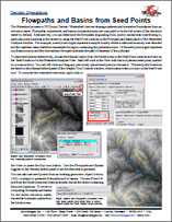
Flowpaths and Basins from Seed Points
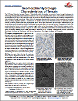
Geomorphic/Hydrologic Characteristics of DEMs
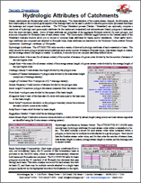
Hydrologic Attributes of Catchments
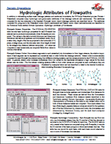
Hydrologic Attributes of Flowpaths
PUBLISH WEB MAPS
Create Google Earth Tilesets as KMZ
Render to Tileset
(2 pp)
Web Tilesets
Setting Zoom Levels
(2 pp)
Tilesets on Android Tablets
Delivering Google Earth Tilesets to Android Tablets
Subset Google Earth Tilesets for Android Tablets
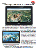
View Google Earth Tilesets on Android Tablets
Geometric Web Tilesets
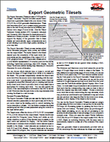
Export Geometric Tilesets
(2 pp)
SVG Geometric Structure
(2 pp)
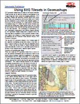
Using SVG Tilesets in Geomashups
Publishing Geomashups with Geometric Tilesets
Using KML Overlays in Geomashups
(2 pp)
Database Queries
Interactive Query Builder
Database Tables
Populate Database Records
Database Tables
Set Default Tables and Hide Tables
Linking to Databases
Import or Link to Access and Excel Files
Spatial Database
Use and Create File Geodatabases
Display
Actions on Multiple Layers
Display
Customize the View Window
Display
Group Right Mouse Button Actions
Display
Use Global Public Reference Layers
3D
3D Perspective Views in Stereo
3D
3D Subsurface Model Using Manifolds
3D
Clipping Near/Far in 3D Views
3D
Control Accuracy of Terrain Rendering
3D
Create Cross-Section Manifold Objects
3D
Drape Labels over Terrain
3D
Edit Manifold Objects
3D
Extruded Polygons in 3D View
3D
Faster Display with Stored Terrain Properties
3D
Manifolds in 3D Views
3D
Pedestal and Fence in 3D Views
3D
Perspective Rendering of Geometric Layers
3D
Polygon Styling Options
3D
Render 3D Elements as 3D Shapes
3D
Texture Filters for 3D Rendering
3D
Transparency and Relief Shading in 3D Views
3D
Use Sidebar Controls to Toggle Layers
3D
Vector Points on Stalks in 3D Views
3D
Visualize 3D Geology Using Manifolds
Data Tips
View Window DataTip Options
Data Tips
DataTip Highlighting of Geometric Elements
Display Manager
Interactive Query Builder
GeoToolbox
Combining Regions
GeoToolbox
Regions from Group, Layer, and View Extents
GeoToolbox
Use Active/Marked Elements for Measurement, Sketch, and ...
Layer Visibility
Actions on Multiple Layers
Map Design - Layouts & Groups
Adding Compass Graphics to Layouts
Map Design - Layouts & Groups
Display Layers, Elements and Groups by Scale
Map Design - Layouts & Groups
Group Settings for Standalone Groups
Map Design - Layouts & Groups
Layout Design Scale and Group Scales
Map Design - Layouts & Groups
Layout Right Mouse Button Actions
Map Design - Layouts & Groups
Layout Templates
Map Design - Layouts & Groups
Map Grid Label Formats
Map Design - Layouts & Groups
Map Grid Label Placement and Orientation
Map Design - Layouts & Groups
Map Grids
Map Design - Layouts & Groups
Matte Graphic Effects in Layouts
Map Design - Layouts & Groups
Placement Tool for Map Layouts
Map Design - Layouts & Groups
Settings for Groups in Layouts
Lidar Display
LAS Point Cloud Display Options
Lidar Display
Point Profile Tool
Manifolds
3D Subsurface Model Using Manifolds
Manifolds
Create Cross-Section Manifold Objects
Manifolds
Edit Manifold Objects
Manifolds
Manifolds in 3D Views
Manifolds
Visualize 3D Geology Using Manifolds
Pin Map
Convert Pinmap to Vector Points
Pin Map
Pin Mapping for Urban Analysis
Raster Geodata
Contrast Enhancement for Local Areas
Raster Geodata
Create Masks from Image Correlation Plot
Raster Geodata
Enhance Color Composite Images
Raster Geodata
Highlight Image Cells from Correlation Plot
Raster Geodata
Hyperbolic Tangent Contrast Enhancement
Raster Geodata
Image Band Correlation
Raster Geodata
Image Contrast Enhancement
Raster Geodata
Inspecting Raster Cells
Raster Geodata
Raster Theme Mapping
Raster Geodata
View Histograms for Any Raster or Raster Laye
Render
Render to Tileset
Legends & Other Sidebar Features
Easily Vary Transparency for Any Layer
Legends & Other Sidebar Features
Legend Samples for CartoScript Styles
Legends & Other Sidebar Features
Legend Types for Raster Layers
Legends & Other Sidebar Features
Locator Manages Zoom and Position
Legends & Other Sidebar Features
Save Locations with Places Panel
Legends & Other Sidebar Features
Set View Position with Places Panel
Legends & Other Sidebar Features
Sidebar Zoom Panel
Legends & Other Sidebar Features
Vector Layer Legends
Legends & Other Sidebar Features
View Window Sidebar
Style Editor
Bitmap Pattern Editor
Style Editor
Creating Styles for Lines and Polygons
Style Editor
Creating Styles for Point Elements
Style Editor
Hatch Patterns for Polygon Fills
Style Editor
Line Pattern Editor
Style Editor
Manual Style Assignment
Style Editor
Point Symbol Editor
Using Web Layers
Use Global Public Reference Layers
Vector, Shape & Other Geometric Data
Enhanced Line Rendering
Vector, Shape & Other Geometric Data
Label Frames and Leader Lines
Vector, Shape & Other Geometric Data
Mark Adjoining Elements
Vector, Shape & Other Geometric Data
Theme Mapping Geometric Elements
View Window Toolbar
View Window Toolbar
View Window Toolbar
Annotate Tool
View Window Toolbar
GeoLock Views
View Window Toolbar
Interactive Query Builder
View Window Toolbar
Pan and Zoom with the View Position Tool
View Window Toolbar
Point Profile Tool
View Window Toolbar
Quick Snapshot for Google Earth
View Window Toolbar
Quick Snapshot of View Contents
View Window Toolbar
Synchronize External GeoViewer
View Window Toolbar
View–In–View Tool
Edit
Convert Dynamic Labels to Label Elements
Edit
Database Prompt and Default Record
Edit
Edit Manifold Objects
Geodata
Use Global Public Reference Layers
Publish
Using KML Overlays in Geomashups
Printing
Layout Settings and Print Setup
Printing
Print Anaglyph Stereo Images
Geometric Processing
Run EPANET Pipe Network Simulations
Coordinate Reference Systems (CRS)
Coordinate Reference System Window
Coordinate Reference Systems (CRS)
Custom Coordinate Reference System Setup
Coordinate Reference Systems (CRS)
Predefined Coordinate Reference Systems
Coordinate Reference Systems (CRS)
Spatial Referencing in the TNT Products
RPC Orthorectification
Orthorectification Results for QuickBird
Direct Use of Geodata Files
Import or Link to Access and Excel Files
Direct Use of Geodata Files
Use and Create File Geodatabases
Export
Use and Create File Geodatabases
Import
Import or Link to Access and Excel Files
Import
Use and Create File Geodatabases
Newsletters
Buffer Zone and Spatial Filter Processes
Newsletters
Compute RPC Orthorectification Model
Newsletters
EPANET Pipe Networks
Newsletters
Pricing Changes and a New Client Referral Program
Newsletters
Release of the 2014 TNT Products
Newsletters
Spatial Statistics
Promotional
Pricing Changes and a New Client Referral Program
Raster & Image Processing
Apply Contrast to Images
Raster & Image Processing
Create and Edit Null Masks and Mask Rasters
Raster & Image Processing
Create Contrast-Matched Images
Classify & Feature Map
Analysis Tools for Automatic Classification
Classify & Feature Map
Automatic Raster Combination
Classify & Feature Map
Create Classification Training Data
Classify & Feature Map
Merge and Simplify Classes
Classify & Feature Map
Using a Reference Vector
Regions
Combining Regions
Regions
Regions from Group, Layer, and View Extents
Job Processing
Custom Job Processing with Geospatial Scripts
Lidar Scripts by Terranean Mapping Technologies
Geospatial Scripts for LIDAR Processing
Scripting with Lidar Data
Geospatial Scripts for LIDAR Processing
System
TNTmips 2014 Menu
GeoCatalogs
Making and Managing Geodata Catalogs
GeoCatalogs
Searching Geodata Catalogs
Job Processing
Custom Job Processing with Geospatial Scripts
Job Processing
Directing Outputs to Enable Concurrent Job Processing
Job Processing
Managing Job Processing
Job Processing
Managing the Job Queue
Job Processing
Scheduling Individual and Repeating Jobs
Job Processing
TNTmips Job Processing System
Job Processing
What Are Job Files?
Language Support
Use the TNT Products in Your Language
Select Input / Output
Create Output Files and Objects
Select Input / Output
Select Objects for Use
Select Input / Output
Select Tool and Marking Elements
Terrain and Stereo
Computing Topographic Properties
Terrain and Stereo
Methods for Computing Topographic Properties
Stereo
Print Anaglyph Stereo Images
Stereo
Stereo Display Settings
Stereo
Use Any Popular 3D Display Method
Stereo
View Geodata in Stereo in 2D Views
Watershed
Create Segmented Flowpaths
Watershed
DEM Quality Determines Watershed Accuracy
Watershed
Fill or Drain Depressions in DEMs
Watershed
Flowpaths and Basins from Seed Points
Watershed
Geomorphic/Hydrologic Characteristics of DEMs
Watershed
Hydrologic Attributes of Catchments
Watershed
Hydrologic Attributes of Flowpaths
Publish Web Maps
Create Google Earth Tilesets as KMZ
Publish Web Maps
Render to Tileset
Web Tilesets
Setting Zoom Levels
Tilesets on Android Tablets
Delivering Google Earth Tilesets to Android Tablets
Tilesets on Android Tablets
Subset Google Earth Tilesets for Android Tablets
Tilesets on Android Tablets
View Google Earth Tilesets on Android Tablets
Geometric Web Tilesets
Export Geometric Tilesets
Geometric Web Tilesets
SVG Geometric Structure
Geometric Web Tilesets
Using SVG Tilesets in Geomashups
Publishing Geomashups with Geometric Tilesets
Using KML Overlays in Geomashups