Watershed
Technical Guides & other documentation
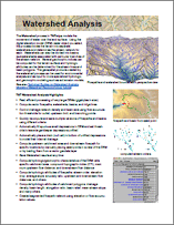
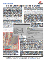
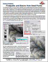
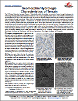
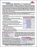
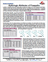
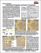
The Watershed process in TNTmips models the movement of water over the land surface. Using the digital elevation model (DEM) raster object you select, the process divides the terrain into separate watersheds and determines the stream network for each. Watersheds can also be divided into basins (subwatersheds) associated with particular branches of the stream network. Several geomorphic indices can be computed for the terrain surface and hydologic attributes can be determined for the stream lines and basin polygons. The geospatial products created by the watershed process can be used for environmental analysis and as input for more specialized hydrologic and geomorphic modeling such as soil erosion models.