New Documentation for TNT 2015
Technical Guides & other documentation
GIS / DATABASE
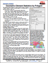
Geometric Element Statistics by Polygon
(2 pp)
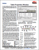
Table Properties Window
(3 pp)
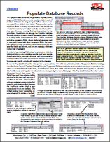
Database Tables
Populate Database Records
(2 pp)
DISPLAY
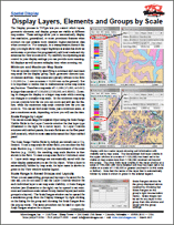
Display Layers, Elements and Groups by Scale
(3 pp)
Layer Right Mouse Button Actions
(2 pp)
View Window
(2 pp)
GPS
Track GPS Position
Layer Visibility
Uniform Perceptual Contrast Color Palettes
(2 pp)
Map Design - Layouts & Groups
Group Settings for Standalone Groups
(2 pp)
Settings for Groups in Layouts
(2 pp)
Raster Geodata
Color Display of Image Bands with Differing Cell Size a ...
Multi-band Image Layers
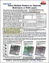
Select Multiple Rasters for Separate, Multi-band, or RG ...
Uniform Perceptual Contrast Color Palettes
(2 pp)
Legends & Other Sidebar Features
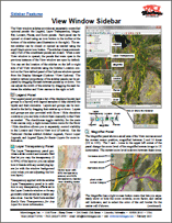
View Window Sidebar
(2 pp)
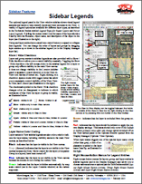
Sidebar Legends
Vector, Shape & Other Geometric Data
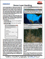
Dense Layer Handling
View Window Toolbar
View Window
(2 pp)
EDIT
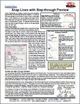
Snap Lines with Step-through Preview
GEOMETRIC PROCESSING
Geometric Element Statistics by Polygon
(2 pp)
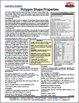
Polygon Shape Properties
(2 pp)
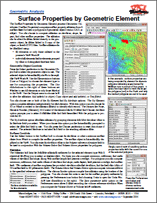
Surface Properties by Geometric Element
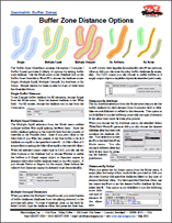
Buffer Zones
Buffer Zone Distance Options
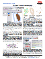
Buffer Zone Generation
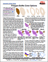
Polygon Buffer Zone Options
(2 pp)
Vector Combine, Merge & Extract
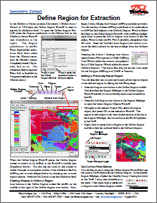
Define Region for Extraction
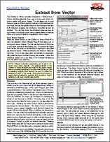
Extract from Vector
(2 pp)
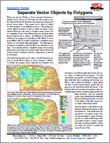
Separate Vector Objects by Polygons
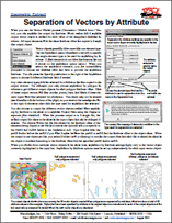
Separation of Vectors by Attribute
GEOREFERENCING
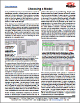
Choosing a Model
(2 pp)
RPC Orthorectification
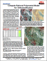
Compute Rational Polynomial Model for Orthorectification
(2 pp)
Georeferencing Ortho-Ready Images for Rational Polynomi ...
(2 pp)
Rational Polynomial Orthorectification
IMPORTEXPORT
Import
Crop and/or Sample Images During Import
NEWSLETTERS
2015 New Feature Highlights
(2 pp)
Announcing TNTscript
RASTER & IMAGE PROCESSING
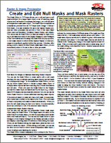
Create and Edit Null Masks and Mask Rasters
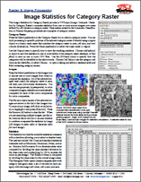
Image Statistics for Category Raster
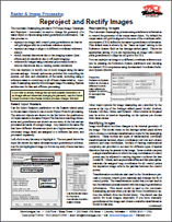
Reproject and Rectify Images
(3 pp)
Mosaic
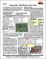
Grayscale, Multiband, and Color
(2 pp)
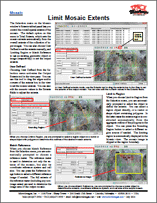
Limit Mosaic Extents
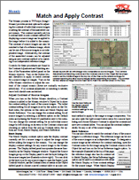
Match and Apply Contrast
(2 pp)
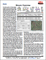
Mosaic Overview
(2 pp)
Mosaic Selected Areas
(2 pp)
Mosaic to Tiled TNT Raster
Raster Filters
Edge Detection Filters
(2 pp)
Gray Level Co-occurrence Matrix Filters
(2 pp)
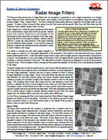
Radar Image Filters
(2 pp)
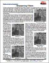
Sharpening Filters
(2 pp)
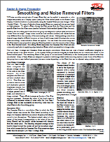
Smoothing and Noise Removal Filters
(2 pp)
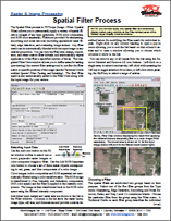
Spatial Filter Process
(2 pp)
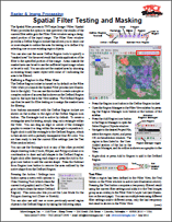
Spatial Filter Testing and Masking
(2 pp)
SCRIPTING
TNTscript
Announcing TNTscript
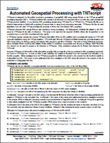
Automated Geospatial Processing with TNTscript
SYSTEM
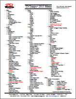
TNTmips 2015 Menu
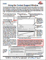
Using the Contact Support Window
(2 pp)
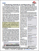
Job Processing
Scheduling Individual and Repeating Jobs
(2 pp)
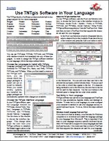
Language Support
Use TNTgis Software in Your Language
(2 pp)
GIS / Database
Geometric Element Stat ...
GIS / Database
Table Properties Windo ...
Database Tables
Populate Database Reco ...
Display
Display Layers, Elemen ...
Display
Layer Right Mouse Butt ...
Display
View Window
GPS
Track GPS Position
Layer Visibility
Uniform Perceptual Con ...
Map Design - Layouts & Groups
Group Settings for Sta ...
Map Design - Layouts & Groups
Settings for Groups in ...
Raster Geodata
Color Display of Image ...
Raster Geodata
Multi-band Image Layer ...
Raster Geodata
Select Multiple Raster ...
Raster Geodata
Uniform Perceptual Con ...
Legends & Other Sidebar Features
View Window Sidebar
Legends & Other Sidebar Features
Sidebar Legends
Vector, Shape & Other Geometric Data
Dense Layer Handling
View Window Toolbar
View Window
Edit
Snap Lines with Step-t ...
Geometric Processing
Geometric Element Stat ...
Geometric Processing
Polygon Shape Properti ...
Geometric Processing
Surface Properties by ...
Buffer Zones
Buffer Zone Distance O ...
Buffer Zones
Buffer Zone Generation
Buffer Zones
Polygon Buffer Zone Op ...
Vector Combine, Merge & Extract
Define Region for Extr ...
Vector Combine, Merge & Extract
Extract from Vector
Vector Combine, Merge & Extract
Separate Vector Object ...
Vector Combine, Merge & Extract
Separation of Vectors ...
Georeferencing
Choosing a Model
RPC Orthorectification
Compute Rational Polyn ...
RPC Orthorectification
Georeferencing Ortho-R ...
RPC Orthorectification
Rational Polynomial Or ...
Import
Crop and/or Sample Ima ...
Newsletters
2015 New Feature Highl ...
Newsletters
Announcing TNTscript
Raster & Image Processing
Create and Edit Null M ...
Raster & Image Processing
Image Statistics for C ...
Raster & Image Processing
Reproject and Rectify ...
Mosaic
Grayscale, Multiband, ...
Mosaic
Limit Mosaic Extents
Mosaic
Match and Apply Contra ...
Mosaic
Mosaic Overview
Mosaic
Mosaic Selected Areas
Mosaic
Mosaic to Tiled TNT Ra ...
Raster Filters
Edge Detection Filters
Raster Filters
Gray Level Co-occurren ...
Raster Filters
Radar Image Filters
Raster Filters
Sharpening Filters
Raster Filters
Smoothing and Noise Re ...
Raster Filters
Spatial Filter Process
Raster Filters
Spatial Filter Testing ...
TNTscript
Announcing TNTscript
TNTscript
Automated Geospatial P ...
System
TNTmips 2015 Menu
System
Using the Contact Supp ...
Job Processing
Scheduling Individual ...
Language Support
Use TNTgis Software in ...