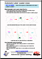
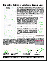
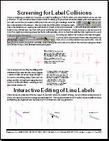
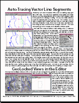
Edit
Technical Guides & other documentation
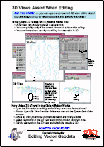
The TNTmips Geodata Editor lets you create, alter, and update your geospatial objects in a powerful and robust environment. The Editor has tools for editing your vector point, line, polygon, and label elements along with the associated databases. The Editor also
has tools for editing CAD, raster, shape, database, and TIN geodata.