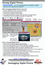
GIS / Database

  Technical Guides & other documentation

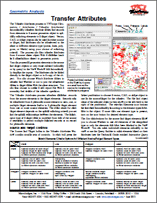
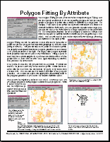
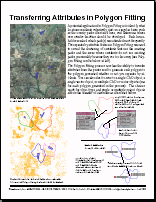
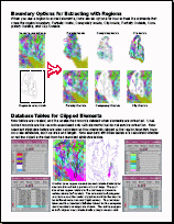
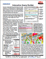
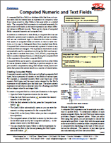
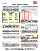
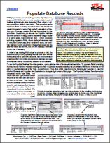
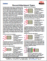
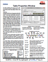
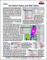
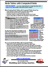
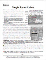
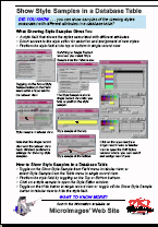
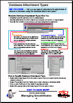
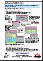
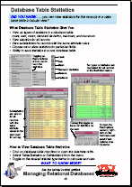
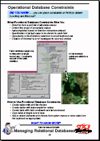
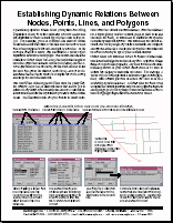
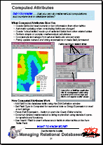
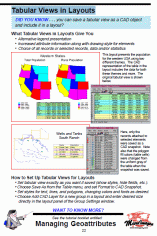
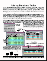
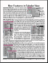
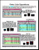
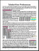
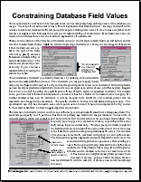
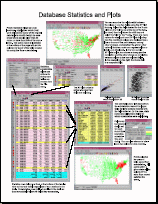
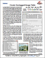
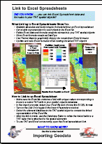
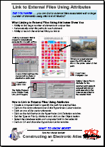
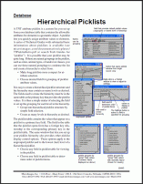
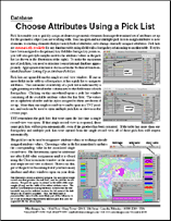
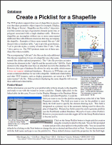
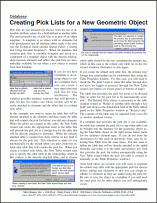
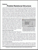
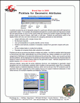
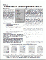
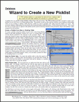
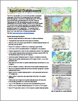
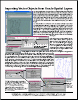
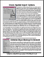
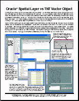
Geometric geodata (vector, CAD, shape) with associated database attributes (records) is an important component of any Geographic Information Systems (GIS). TNTmips provides a complete set of tools for associating attributes with geospatial objects and maintaining these attributes as you extract, merge, edit and otherwise manipulate these objects. Build and maintain tables and records, attach records to elements (points, lines, or polygons), and relate tables to each other. Select and display elements by attribute and make data tips and label elements based on related attributes.

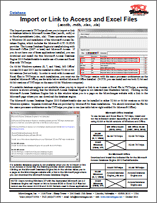
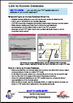
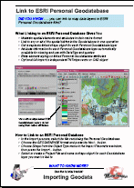
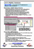
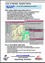
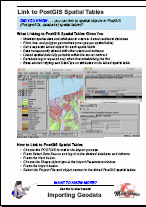
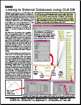
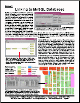
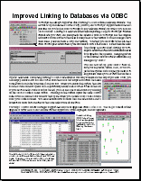
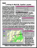
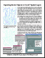
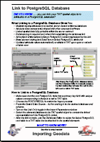
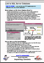
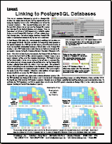
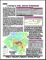
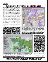
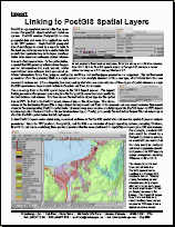
Databases can be in the internal format and a variety of external formats supported by OLE DB (Object Linking and Embedding, Database) or in a spatial database format, such as Oracle Spatial or ESRI Personal Geodatabase.

See also: Pin Mapping to visualize points directly from database tables containing coordinates and Raster Classification and Feature Mapping to assign attributes to raster cell.

Database Tables

GIS / Database
Introduction to GIS
introgis
GIS / Database
Tutorial: Pin Mapping
pinmap
GIS / Database
Transfer Attributes
82TransferAttributes
GIS / Database
Polygon Properties
72PolygonProperties
Database Queries
Interactive Query Builder
80QueryBuilder
Database Tables
Field Types in Tables
81DBfieldTypes
Database Tables
Record Attachment Types
81AttachTypes
Database Tables
Table Properties Window
81TableProp
Database Tables
Single Record View
75SingleRecordView
Database Tables
Raster Attributes
73RasterAttributes
Database Tables
Database Table Colors
72DatabaseTableColors
Database Tables
Sort Table Fields
72SortTableFields
Database Tables
Design Database Forms
70QGdbforms
Database Tables
Computed Attributes
65computedatt
Database Tables
Tabular Views in Layouts
65tabularviewslayouts
Database Tables
Joining Database Tables
63dbjoin1
Database Tables
Outer Join Operations
63dbjoin2
Database Tables
Tabular View Preferences
63tviewpref
Geotagged Image Database
Create Geotagged Image Table
82CreateGeotagTbl
Geotagged Image Database
Geotagging Digital Photos
82Geotag
Geotagged Image Database
Viewing Geotagged Image Tables
82ViewImgTbl
Geotagged Image Database
Convert Image Locations to Vector
75convertgeotgvector
Geotagged Image Database
Digital Photos as DataTips
75ImageDatatips
Geotagged Image Database
Geotag Digital Photos
75geotagimages
Linking to Databases
Link to Access Database
72QGlinkAccess
Linking to Databases
Link to ESRI Personal Database
72QGesriGeodb
Linking to Databases
Link to Excel Spreadsheets
72QGlinkToExcel
Linking to Databases
Link to MySQL Database
72QGlinkMySQL
Linking to Databases
Link to MySQL Spatial Tables
72QGlinkMySQLspat
Linking to Databases
Link to PostGIS Spatial Tables
72QGlinkPostGIS
Linking to Databases
Link to PostgreSQL Database
72QGlinkPostgres
Linking to Databases
Link to SQL Server Database
72QGlinkSQLserver
Linking to Databases
Linking to MySQL Databases
72LinkMySQL
Linking to Databases
Linking to PostgreSQL Databases
72LinkPostgreSQL
Linking to Databases
Linking to SQL Server Databases
72LinkSQLServer
Spatial Database
Spatial Databases
00SpatialDatabases
Spatial Database
What Is a Shape Object?
74shapeobject