Online Maps — Geomashup Gallery
A geomashup is a web page that presents geospatial data in an interactive map display using a browser-based geoviewer such as Google Maps, Bing Maps, Open Layers, or the Google Earth browser plug-in.
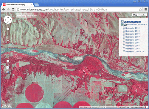
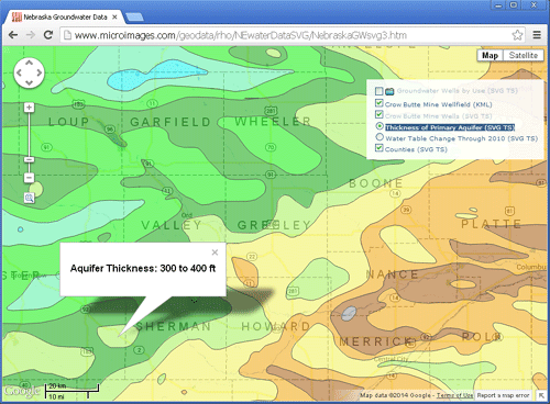
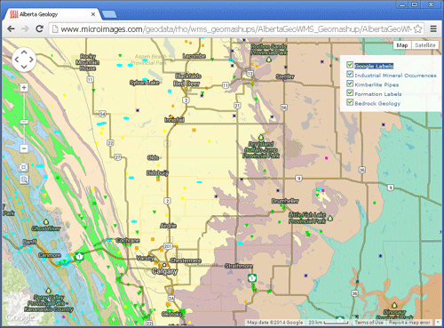
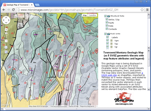
Geomashups created in TNTmips allow you to present geospatial data on the web (or your local network) for public or private viewing with no specialized server software. The custom geospatial data in the geomashup is overlaid on a global base map (map, terrain, or satellite aerial imagery) provided by the geoviewer to place your data in a geographic context. The geoviewer also provides intuitive zooming and panning controls to allow your user to zoom in to any location at any scale. A geomashup can include any number of image or thematic map overlays covering an area of any size, and individual overlays or groups of overlays can be turned on and off by the user.
Geomashups can provide fast and flexible viewing of massive geodata by using web tilesets, which contain image or map data that has been subdivided into uniformly-sized tiles created at a series of discrete map scales and stored in a predefined directory structure. In TNTmips you can convert imagery, scanned maps, and thematic map data into several types of web tilesets, and assemble them into geomashups for web presentation. Geomashups can also include KML files, Web Map Server Layers, and spatial data in Google Fusion Tables. When you create a geomashup, you can choose which map controls to include and add optional drawing or measurement tools.
- Technical Guides on Web Tilesets and Geomashups