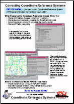
Coordinate Reference Systems (CRS)
Technical Guides & other documentation
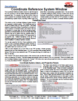
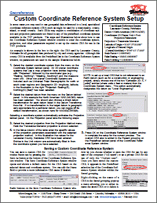
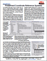
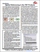
The CRS of a geospatial object relates it to its position in the real world. In TNTmips you can 1) choose from hundreds of predefined CRSs, 2) specify the CRS by choosing a coordinate system and a datum, or 3) set up your own private CRS. See also: Georeferencing.
Note: If the CRS, datum, or datum transformation you need is not in the list, we can usually add it within one or two business days. Simply email us with your request. Be sure to include the necessary details (i.e. projection, projection parameters, datum, datum transformation parameters).