3D
Technical Guides & other documentation
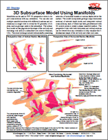
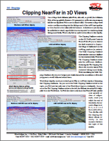
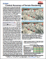
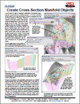
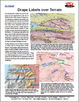
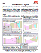
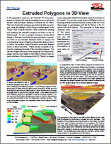
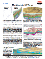
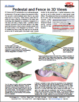
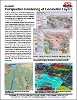
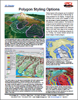
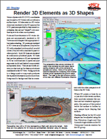
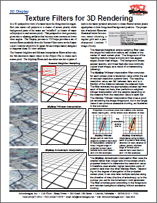
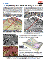
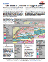
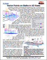
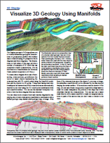
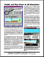
Display geodata in 3D View windows by adding 2D objects over a terrain surface. The terrain can be a raster object with cells containing elevation values or vector, CAD or TIN objects with full 3D coordinates. You can also extrude points and polygons as well as display manifolds in 3D Views.
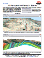
See also: Stereo Viewing for information on active, passive, glasses-free, and anaglyph display stereo viewing in 2D views. Terrain Analysis and Operations for general information about using geodata with 3D properties including LIDAR, topographic maps, relief shading, surface modeling, watershed, and DEM extraction / orthorectification.