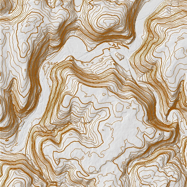
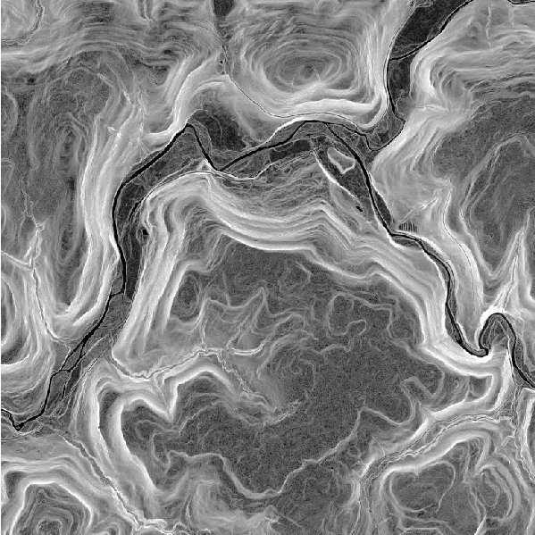
Terrain Analysis
TNTmips provides robust tools for analysis terrain data. Use the Surface Modeling process to perform contour and to interpolate a grid of elevation values from geometric data (contours or points). Compute slope, aspect, curvature and shading using the Topographic Properties process. Compute viewsheds from one or more point locations using the Viewshed process. See the Terrain Operations page for more information.
Viewshed
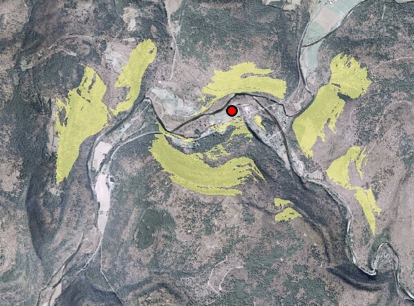
Viewshed (transparent yellow areas) computed for the location shown by the red point symbol.