Geodata Editor
The Editor in TNTmips and TNTedit lets you create or edit any type of geospatial data (vector, CAD, shape, raster, or TIN) including linked data in many file and geospatial database formats. You can use any type of geospatial data as a visual reference while editing, including Bing Maps and MapQuest base map and imagery layers as well as any other public web layers. See the Editing Geodata page for more information.
Edit with a Public Reference Layer
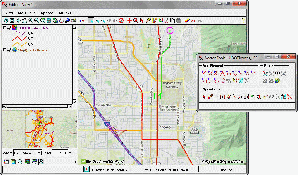
Edit over MapQuest or Bing Maps public web layers or use any local reference data.