LIDAR Classification
Use the LIDAR Classification process to identify points on the ground surface using terrain-following or multiscale curvature methods. An example of ground classification applied to LIDAR points in a forested area is shown in color-shaded virtual terrain displays of LIDAR data from a forested area in mountainous terrain. See the Classify Ground Points by Terrain Following Technical Guide for more information.
All Points
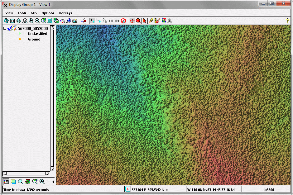
Color-shaded virtual terrain display using all points, so the trees are depicted as part of the surface.
Ground Points
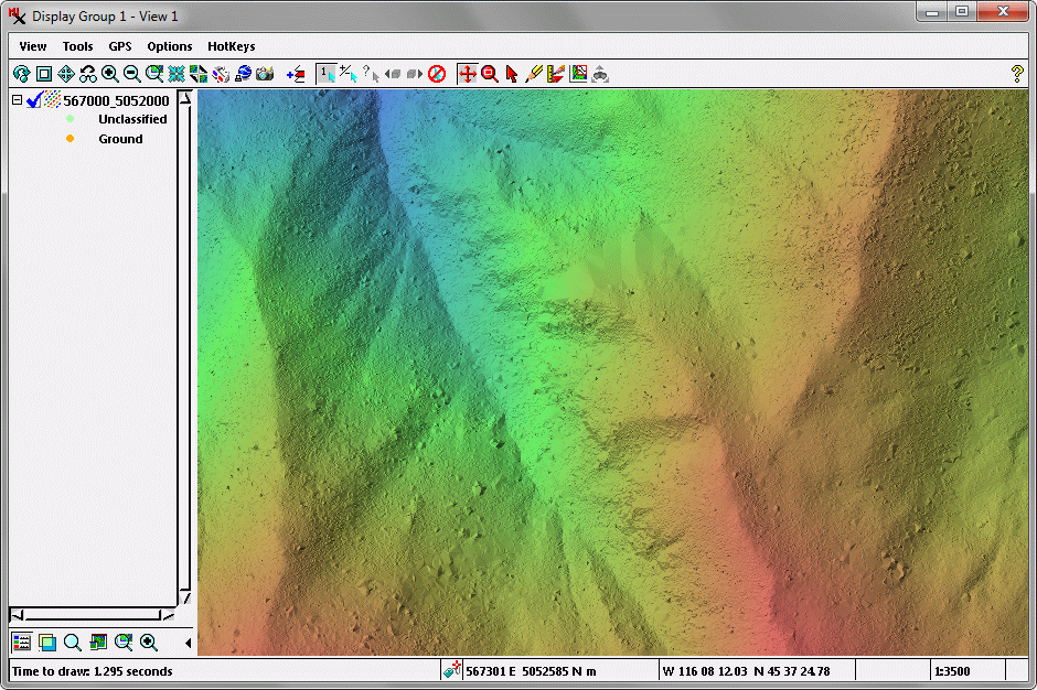
Color-shaded virtual terrain display using ground points classified in TNTmips by terrain-following.