FAQs By Jack™
How to handle imagery and GIS data
Dr. Jack Paris has used the TNTgis software for over 16 years. These FAQs accompany a series of Scripts By Jack™ which demonstrate techniques for processing imagery and GIS data with TNT's geospatial scripting language (SML). Jack shares these sample scripts and grants permission to use them without restriction.
These FAQs by Jack describe the underlying theory and fundamentals, and define the names for the parameters, variables, and objects in the scripts.
- Introduction
- Table of Contents
- FAQ
A.
Remote Sensing Tutorial (42 pages)
(relates to
 SRFI.sml)
 - FAQ
B. Surface Reflectance Images - SRFI.sm/ (40 pages)
(relates to
SRFI.sml)
- FAQ
C. Diagnostic Products for Surface Reflectance Images - DIAG.sml (13 pages)
(relates to
DIAG.sml)
- FAQ
D. Terrain Correction for Surface Reflectance Images - TERCOR.sml (11 pages)
(relates to
TERCOR.sml)
- FAQ
E. Grand Unified Vegetation Index Images - GRUVI.sml (31 pages)
(relates to
GRUVI.sml)
- FAQ
F. Tasseled Cap Transformation Images - TASCAP.sml (38 pages)
(relates to
TASCAP.sml)
- FAQ
G. Improved Coastal Images - WATER.sml (19 pages)
(relates to
WATER.sml and
FILTER_WATERMASK.sml)
- FAQ H. Scene Object Polygons (relates to OBJECT.sml)
- BIO
Jack Paris is a private remote-sensing & GIS consultant working out of Longmont Colorado. He has written hundreds of publications and scripts in TNT's geospatial scripting language about optical, radar, and GIS applications for mapping and monitoring of the environment.
See ![]() Jack's Bio. Email: [email protected]
Jack's Bio. Email: [email protected]
Related Color Plates:
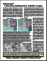
Scripts by Jack(tm): Calibrating Multispectral Satellite Images (overview)
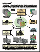
Scripts by
Jack(tm): Workflow: Calibrating/Analyzing Multispectral Images
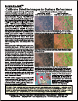
Scripts by Jack(tm): Calibrate Satellite Images to Surface Reflectance(SRFI.sml)
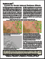
Scripts by Jack(tm): Correct
for Terrain Induced Radiance Effects (TERCOR.sml)
Scripts by
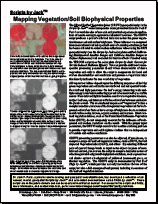
Jack(tm): Mapping Vegetation/Soil Biophysical Properties (GRUVI.sml)
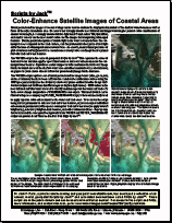
Scripts by Jack(tm): Color-Enhance Satellite Images of Coastal Areas (WATER.sml)
Scripts by
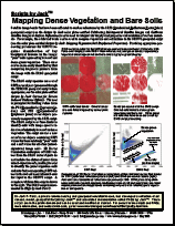
Jack(tm): Mapping Dense Vegetation and Bare Soils (DIAG.sml)
Scripts by
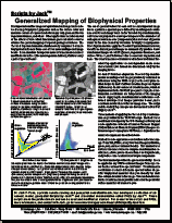
Jack(tm): Generalized Mapping of Biophysical Properties (TASCAP.sml)
Related Classroom Presentation:
Precision Remote Sensing and Image Processing for Precision Agriculture (PA) based on his SML scripts using TNTgis software.
![]() Precision
Agriculture and Remote Sensing (58 Slides)
Precision
Agriculture and Remote Sensing (58 Slides)
![]() Lab
Exercises (using TNTlite)
Lab
Exercises (using TNTlite)