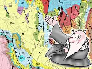
Making Geologic Maps
TNTmips provides a variety of tools for working with geologic data and making geologic maps that can be printed or distributed as an electronic atlas. This booklet is intended as a general guide to making geologic maps in TNTmips. Using a sample geologic map layout, it discusses how the different data layers were prepared and assembled, and illustrates the type of results you can achieve with your own data using TNTmips.
![]() digitize field maps
digitize field maps
![]() digital mapping in the field
digital mapping in the field
![]() use any map data model
use any map data model
![]() prepare digital base map
prepare digital base map
![]() style contact and fault lines
style contact and fault lines
![]() auto-generate labels for map polygons
auto-generate labels for map polygons
![]() legends in your language
legends in your language
![]() scale bars and map grids
scale bars and map grids