Introduction to the Display Interface
This tutorial is an overview of the user interface for the display process that is common to TNTmips, TNTedit, and TNTview. It introduces basic concepts, controls, and operating procedures that you can use while displaying any type of geospatial data.
We suggest new users read Getting Started with TNTmips, TNTedit, and TNTview first. Next go through this one, Introduction to the Display Interface, followed by the companion tutorial Displaying Geospatial Data, which will be rewritten to cover techniques specific to particular data layer and display types.
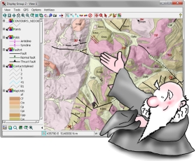
![]() Display Manager and View
Display Manager and View
![]() layer controls
layer controls
![]() sidebar legend & tools
sidebar legend & tools
![]() display groups
display groups
![]() database tables
database tables
![]() datatips
datatips
![]() mark geometric elements
mark geometric elements
![]() mark by attribute
mark by attribute
![]() measure, sketch, & annotate
measure, sketch, & annotate
![]() change group CRS
change group CRS
![]() View options & customization
View options & customization
![]() snapshot
snapshot
![]() layouts
layouts
![]() 3D perspective Views
3D perspective Views