Surface Properties in TNT products V5.5
V5.50 –– October 1996
The new Surface Properties process uses a georeferenced elevation raster object (e.g. DEM) to compute new tables containing surface measurements for vector elements as well as raster properties. The area can be specified by an existing vector object or by a vector object created within the Surface Properties process.
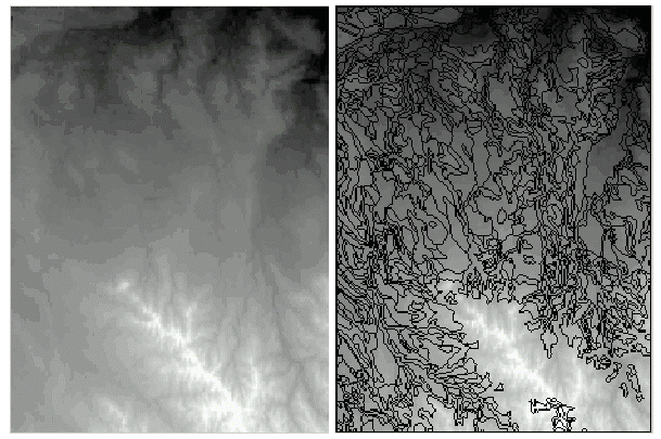
an input elevation raster and vector polygon overlay
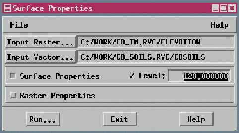
the Surface Properties process control window for input and output
The process automatically attaches the properties it computes to the vector object as new database tables. You can select a line or polygon element in the display process and view the associated records.
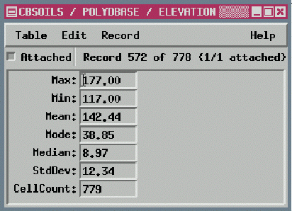
the elevation table shows properties of the elevation raster for a selected polygon
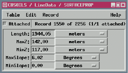
the surface property tables show properties of polygon and line elements
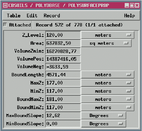
The surface properties more completely describe the terrain than the standard projected two-dimensional area properties of vector elements.