Creating and Using Regions for Selection in TNT products V5.5
V5.50 –– October 1996
TNT V5.5 adds a powerful Region of Interest selection feature. You can define a region and use it to select elements from other project materials that share at least some of the same spatial extent. In this example, a Public Lands vector object was used to identify two regions. Those regions were applied to a soils vector object to create a soils region.
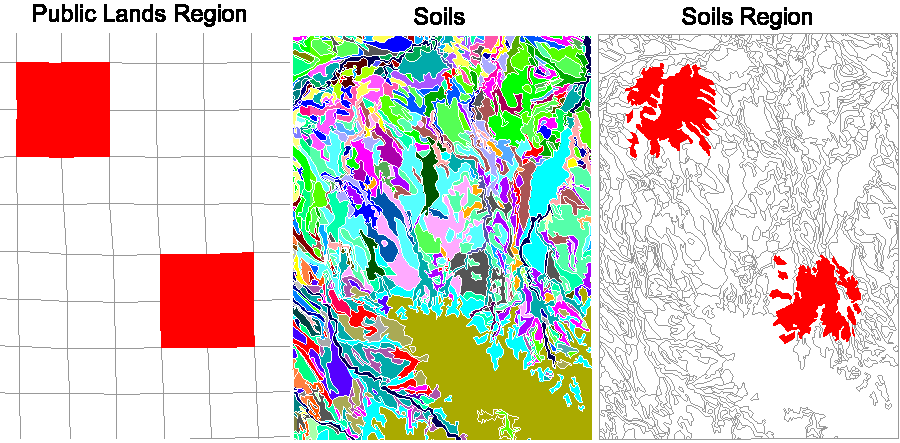
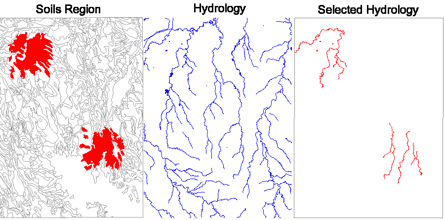
The soils region polygons fall completely inside the area defined by the original Public Lands region. In the next step, the new soils region is applied to a hydrology vector object to get selected hydrology line elements, clipping them at the boundaries of the soils polygons.