Hawaii 3D Perspective in TNTmips
V5.50 –– October 1996
created entirely from a single DEM in TNTmips
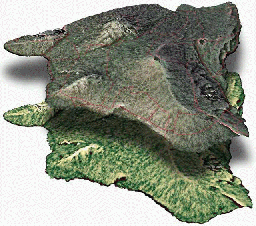
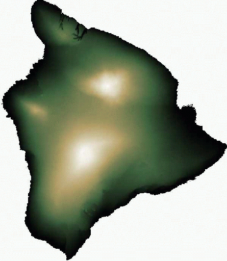
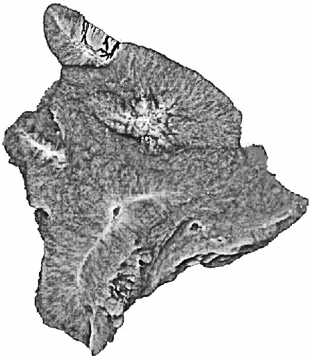
With just one or two data sources and TNTmips, you can produce many diverse and varied results. These views of the island of Hawaii were created with processes in TNTmips from a single DEM raster. An overlay road vector is also shown. (The shadow effect in the first illustration was created in an illustrator software package.)

Source DEM, color enhanced:

DEM with Wallis localized contrast enhancement filter applied:

50-50 combination of Wallis filtered DEM and relief shaded DEM in the 3D Perspective display process of TNTmips:
