New Documentation for 2016
Technical Guides & other documentation
GIS / DATABASE
Transfer Attributes
(4 pp)
Geotagged Image Database
Create Geotagged Image Table
(2 pp)
Geotagging Digital Photos
(2 pp)
Viewing Geotagged Image Tables
DISPLAY
Raster Geodata
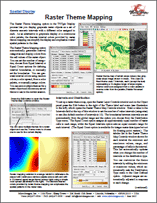
Raster Theme Mapping
(2 pp)
Render
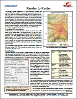
Render to Raster
(2 pp)
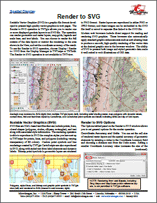
Render to SVG
(2 pp)
Legends & Other Sidebar Features
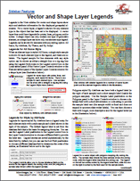
Vector and Shape Layer Legends
(2 pp)
Style Editor
Bitmap Pattern Editor
(2 pp)
Creating Styles for Points
(3 pp)
Hatch Patterns for Polygon Fills
(2 pp)
Line Pattern Editor
(2 pp)
Setting Text Styles
(2 pp)
Style By Attribute: Automatic Style Generation
(2 pp)
Vector, Shape & Other Geometric Data
Shape Layer Controls
(3 pp)
Vector Layer Controls
(4 pp)
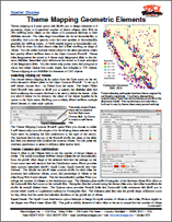
Theme Mapping Geometric Elements
(4 pp)
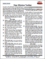
View Window Toolbar
View Window Toolbar
(2 pp)
GEOMETRIC PROCESSING
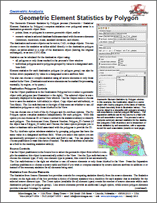
Geometric Element Statistics by Polygon
(4 pp)
Run EPANET Pipe Network Simulations
(2 pp)
Run EPANET Pipe Network Simulations
(2 pp)
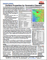
Surface Properties by Geometric Element
Transfer Attributes
(4 pp)
Buffer Zones
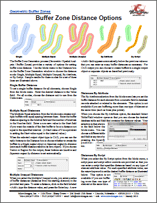
Buffer Zone Distance Options
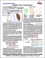
Buffer Zone Generation
(2 pp)
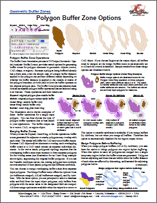
Polygon Buffer Zone Options
(2 pp)
Vector Combine, Merge & Extract
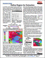
Define Region for Extraction
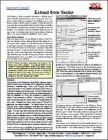
Extract from Vector
(2 pp)
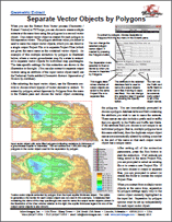
Separate Vector Objects by Polygons
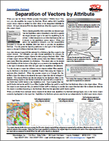
Separation of Vectors by Attribute
GEOREFERENCING
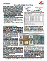
Georeference Overview
(3 pp)
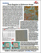
Auto-Register to Reference Image
(4 pp)
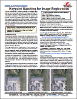
Keypoint Matching for Image Registration
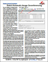
Batch Automatic Image Registration
(2 pp)
NEWSLETTERS
Release of TNTgis 2016
RASTER & IMAGE PROCESSING
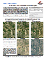
Apply Contrast to Images
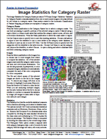
Image Statistics for Category Raster
Radiometric Correction of Satellite Images
(4 pp)
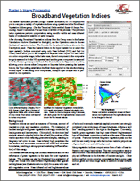
Broadband Vegetation Indices
(3 pp)
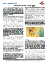
Convert Raster Data Type
Image Statistics by Geometric Element
Lens Correction
(2 pp)
Raster Calculation Process
(2 pp)
Raster Color Conversions
(2 pp)
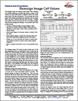
Reassign Image Cell Values
(3 pp)
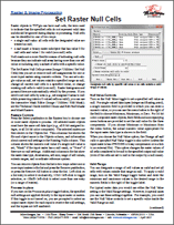
Set Raster Null Cells
(2 pp)
Classify & Feature Map
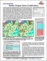
Raster Unique Value Combination
SYSTEM
TNTmips 2016 Menu
(2 pp)
GeoCatalogs
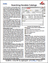
Searching Geodata Catalogs
(3 pp)
Select Input / Output
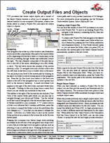
Create Output Files and Objects
Searching Geodata Catalogs
(3 pp)
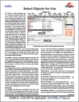
Select Objects for Use
(4 pp)
TERRAIN ANALYSIS AND OPERATIONS
Lidar Manager
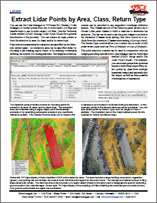
Extract Lidar Points by Area, Class, Return Type
Manage Lidar Point Clouds
(2 pp)
Merge and/or Tile Lidar Point Clouds
Use LAS Files as Single Seamless Dataset
(2 pp)
TILESETS
Tilesets on Android Tablets
Subset Google Earth Tilesets for Android Tablets
Geometric Web Tilesets
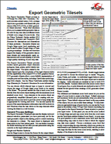
Export Geometric Tileset
(4 pp)
GIS / Database
Transfer Attributes
Geotagged Image Database
Create Geotagged Image Table
Geotagged Image Database
Geotagging Digital Photos
Geotagged Image Database
Viewing Geotagged Image Tables
Raster Geodata
Raster Theme Mapping
Render
Render to Raster
Render
Render to SVG
Legends & Other Sidebar Features
Vector and Shape Layer Legends
Style Editor
Bitmap Pattern Editor
Style Editor
Creating Styles for Points
Style Editor
Hatch Patterns for Polygon Fills
Style Editor
Line Pattern Editor
Style Editor
Setting Text Styles
Style Editor
Style By Attribute: Automatic Style Generation
Vector, Shape & Other Geometric Data
Shape Layer Controls
Vector, Shape & Other Geometric Data
Vector Layer Controls
Vector, Shape & Other Geometric Data
Theme Mapping Geometric Elements
View Window Toolbar
View Window Toolbar
Geometric Processing
Geometric Element Statistics by Polygon
Geometric Processing
Run EPANET Pipe Network Simulations
Geometric Processing
Run EPANET Pipe Network Simulations
Geometric Processing
Surface Properties by Geometric Element
Geometric Processing
Transfer Attributes
Buffer Zones
Buffer Zone Distance Options
Buffer Zones
Buffer Zone Generation
Buffer Zones
Polygon Buffer Zone Options
Vector Combine, Merge & Extract
Define Region for Extraction
Vector Combine, Merge & Extract
Extract from Vector
Vector Combine, Merge & Extract
Separate Vector Objects by Polygons
Vector Combine, Merge & Extract
Separation of Vectors by Attribute
Georeferencing
Georeference Overview
Georeferencing
Auto-Register to Reference Image
Georeferencing
Keypoint Matching for Image Registration
Georeferencing
Batch Automatic Image Registration
Newsletters
Release of TNTgis 2016
Raster & Image Processing
Apply Contrast to Images
Raster & Image Processing
Image Statistics for Category Raster
Raster & Image Processing
Radiometric Correction of Satellite Images
Raster & Image Processing
Broadband Vegetation Indices
Raster & Image Processing
Convert Raster Data Type
Raster & Image Processing
Image Statistics by Geometric Element
Raster & Image Processing
Lens Correction
Raster & Image Processing
Raster Calculation Process
Raster & Image Processing
Raster Color Conversions
Raster & Image Processing
Reassign Image Cell Values
Raster & Image Processing
Set Raster Null Cells
Classify & Feature Map
Raster Unique Value Combination
System
TNTmips 2016 Menu
GeoCatalogs
Searching Geodata Catalogs
Select Input / Output
Create Output Files and Objects
Select Input / Output
Searching Geodata Catalogs
Select Input / Output
Select Objects for Use
Lidar Manager
Extract Lidar Points by Area, Class, Return Type
Lidar Manager
Manage Lidar Point Clouds
Lidar Manager
Merge and/or Tile Lidar Point Clouds
Lidar Manager
Use LAS Files as Single Seamless Dataset
Tilesets on Android Tablets
Subset Google Earth Tilesets for Android Tablets
Geometric Web Tilesets
Export Geometric Tileset